

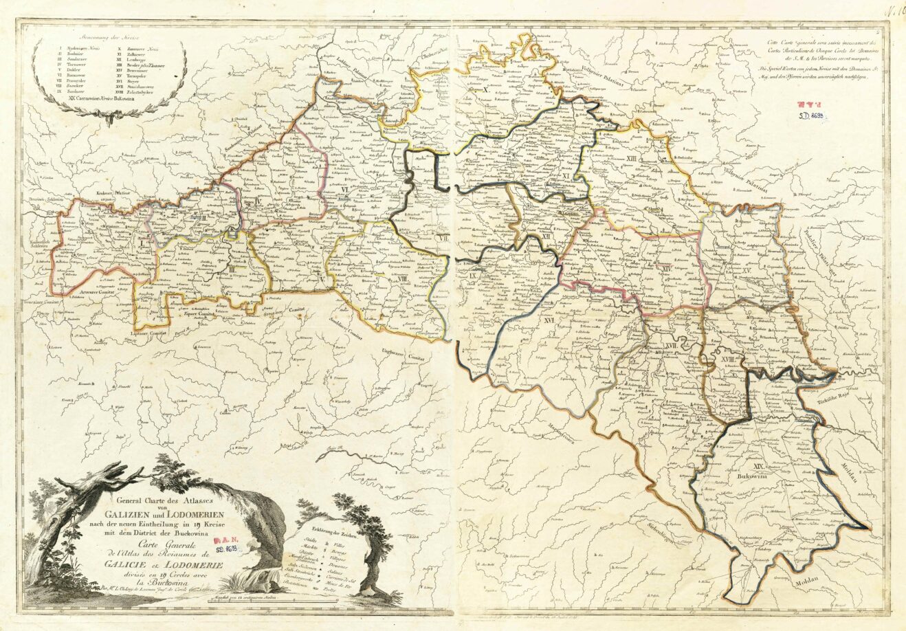
The digital cartographic collection of My Ukrainian Heritage Inc. contains terabytes of materials, and our international network brings together specialists from around the world. We provide expert guidance in selecting historical maps from the 15th–20th centuries, classified aerial photographs from the 20th century, and satellite imagery, helping you locate exactly the materials you need.
Ordering Historical Maps and Aerial Photographs
Related Services
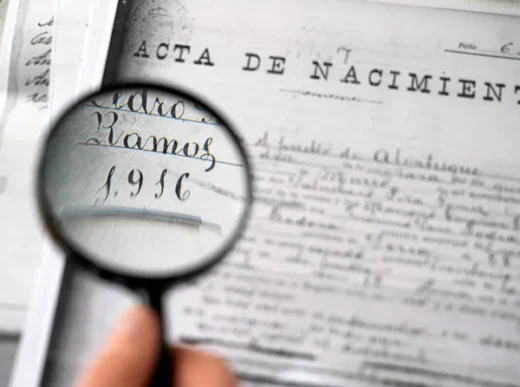
Research of individuals, organizations, and institutions
Are you interested in the history of a specific institution, organization, a disappeared settlement, or a particular individual?After clarifying the details, our research team will thoroughly address...

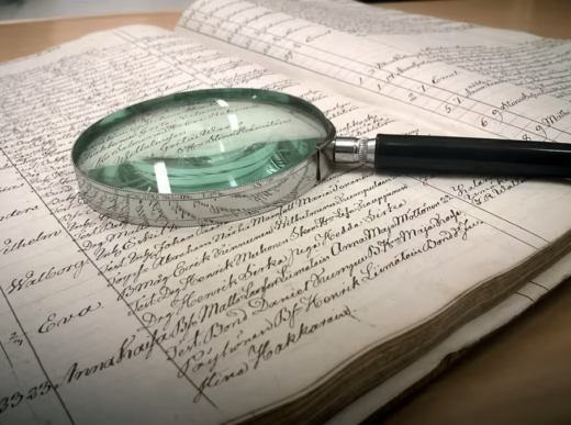
Genealogical research
Discover your family roots and learn about your ancestryA professionally conducted, in-depth lineage research drawing on verified records, archival materials, and documented family historiesWe help...
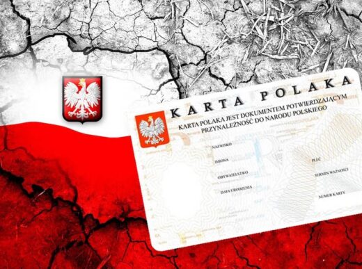
Search for documents for issuing a Pole’s Card (Karta Polaka)
The Pole's Card is an official document confirming a person's belonging to the Polish people.Why is a Pole's Card needed?It provides a number of benefits and rights for foreigners of Polish origin...